
Salty and Edible Sesuvium portulacastrum

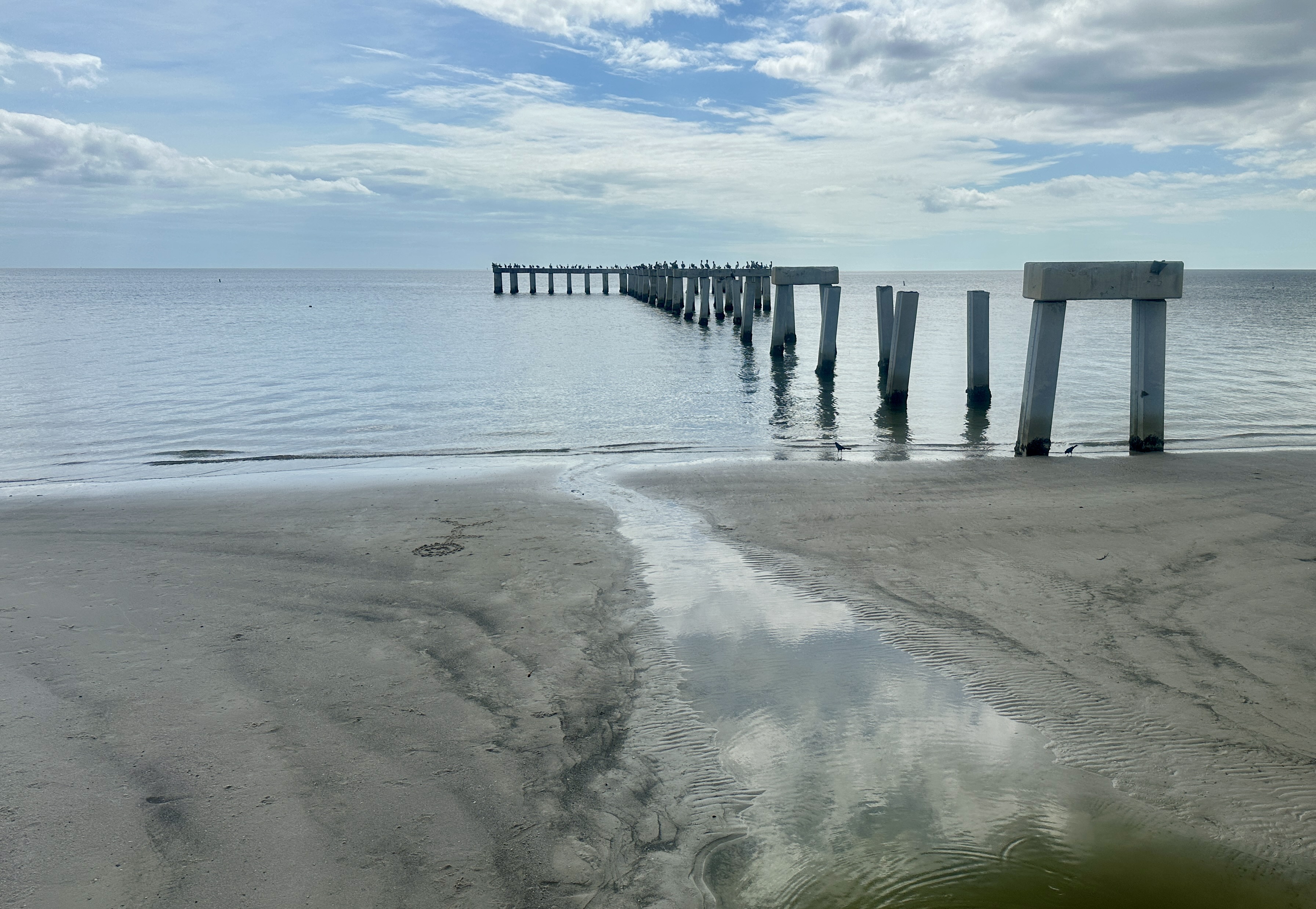
Unmoored Dock
Salty and Edible Sesuvium portulacastrum
Unmoored Dock

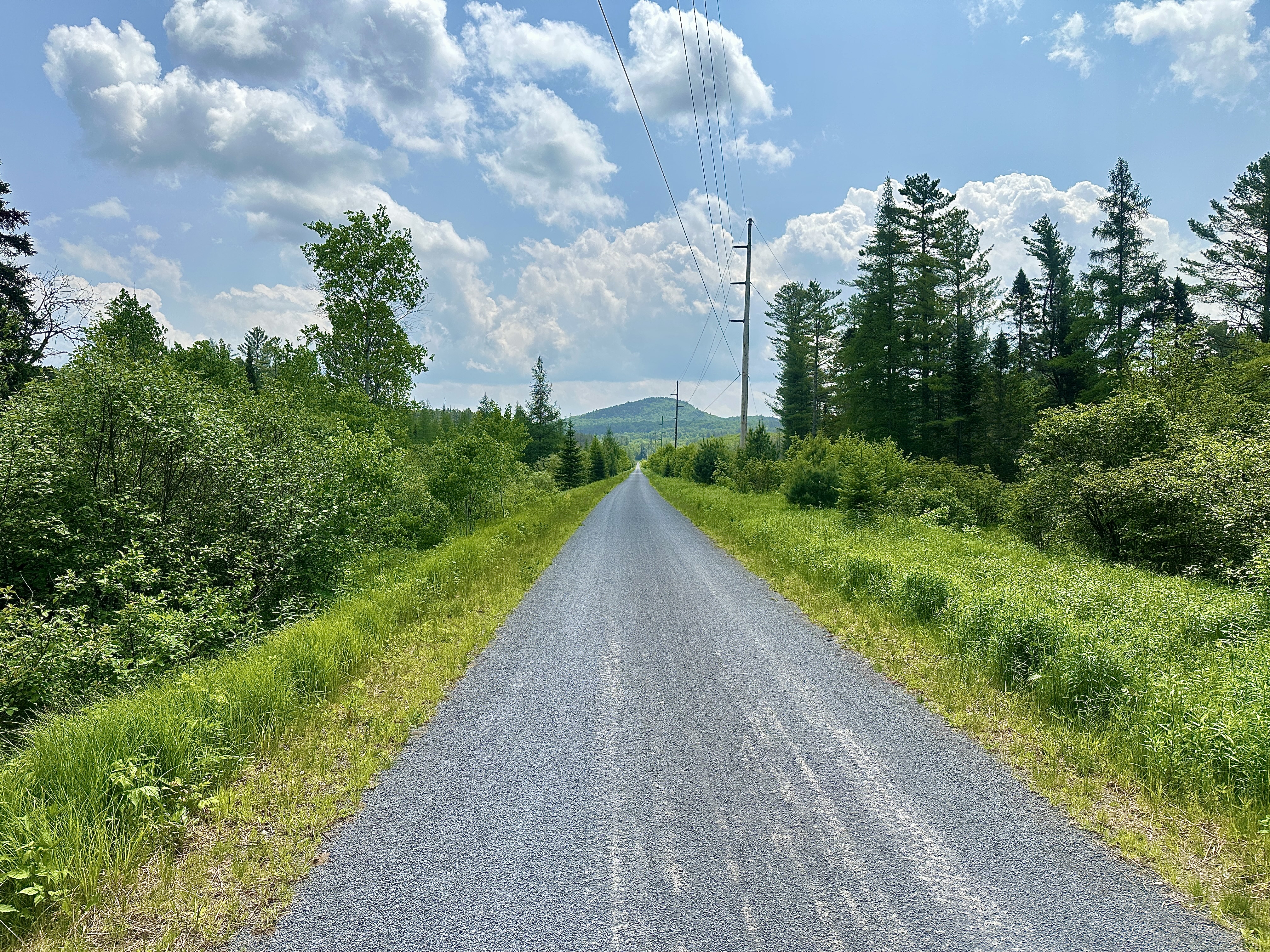
Adirondack Rail Trail Bog

Rail Trail Bend

Trifolium aureum

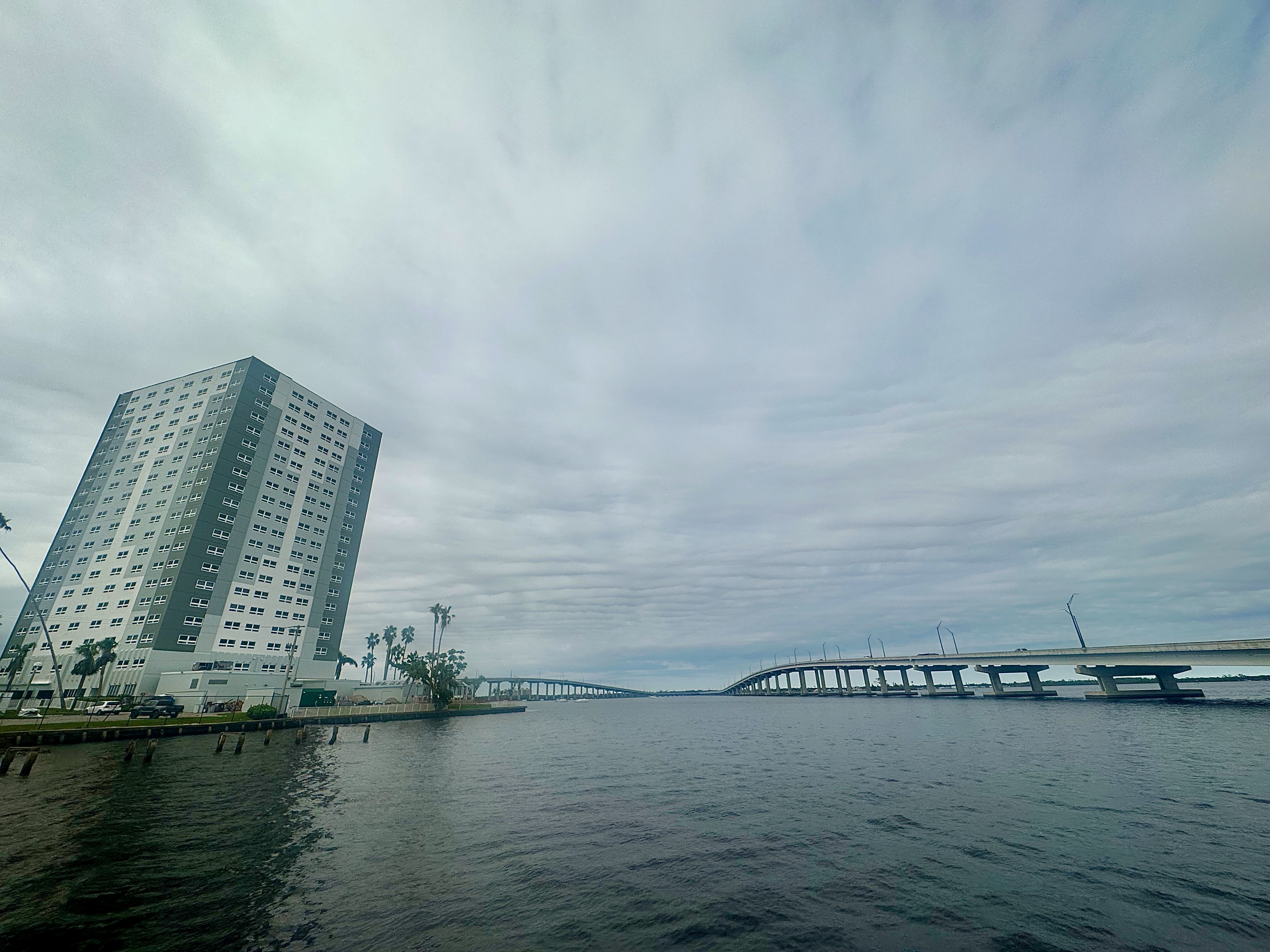
Straightaway

Lonicera tatarica
Trail Treadmarks

Typha latifolia
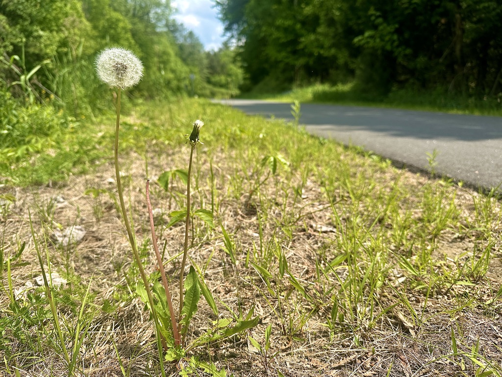
Taraxacum officinale
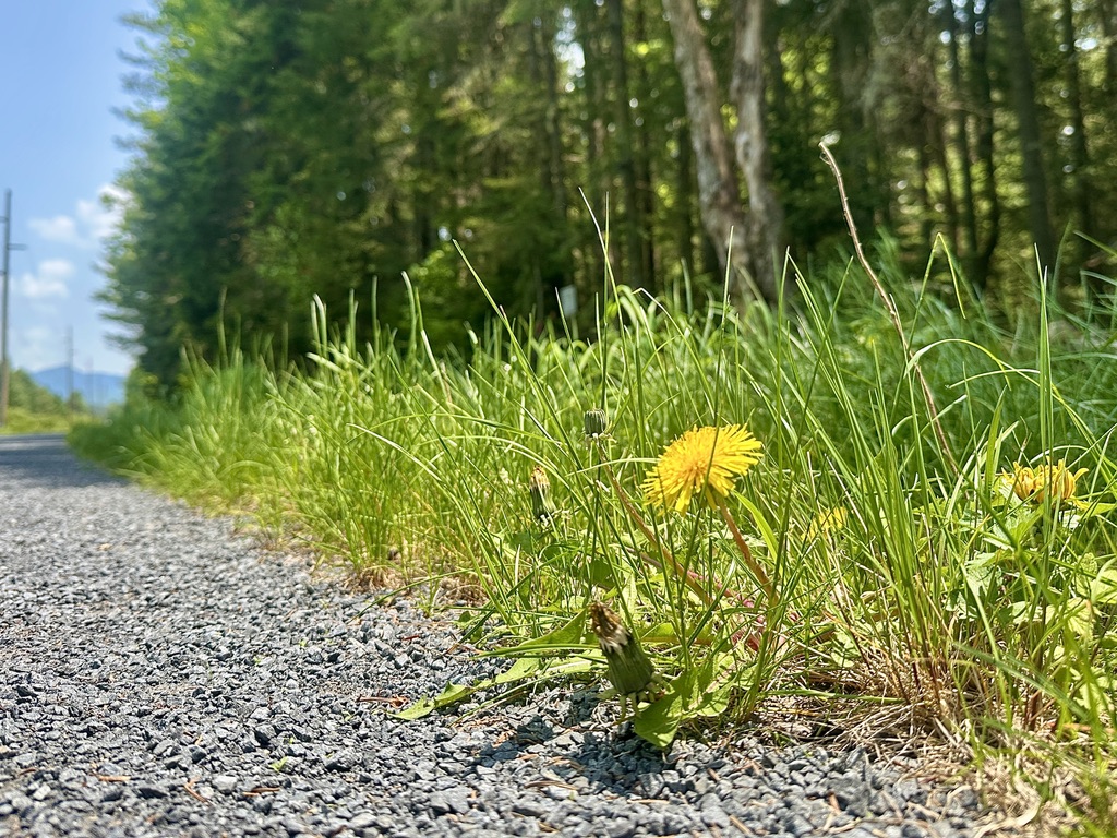
Taraxacum officinale

Betula pendula and Granite

Myosotis scorpioides

Hylocereus undatus


Steps to the PierSide Grill and Famous Blowfish Bar

Steps to the PierSide Grill and Famous Blowfish Bar
Fort Myers Fishing Pier
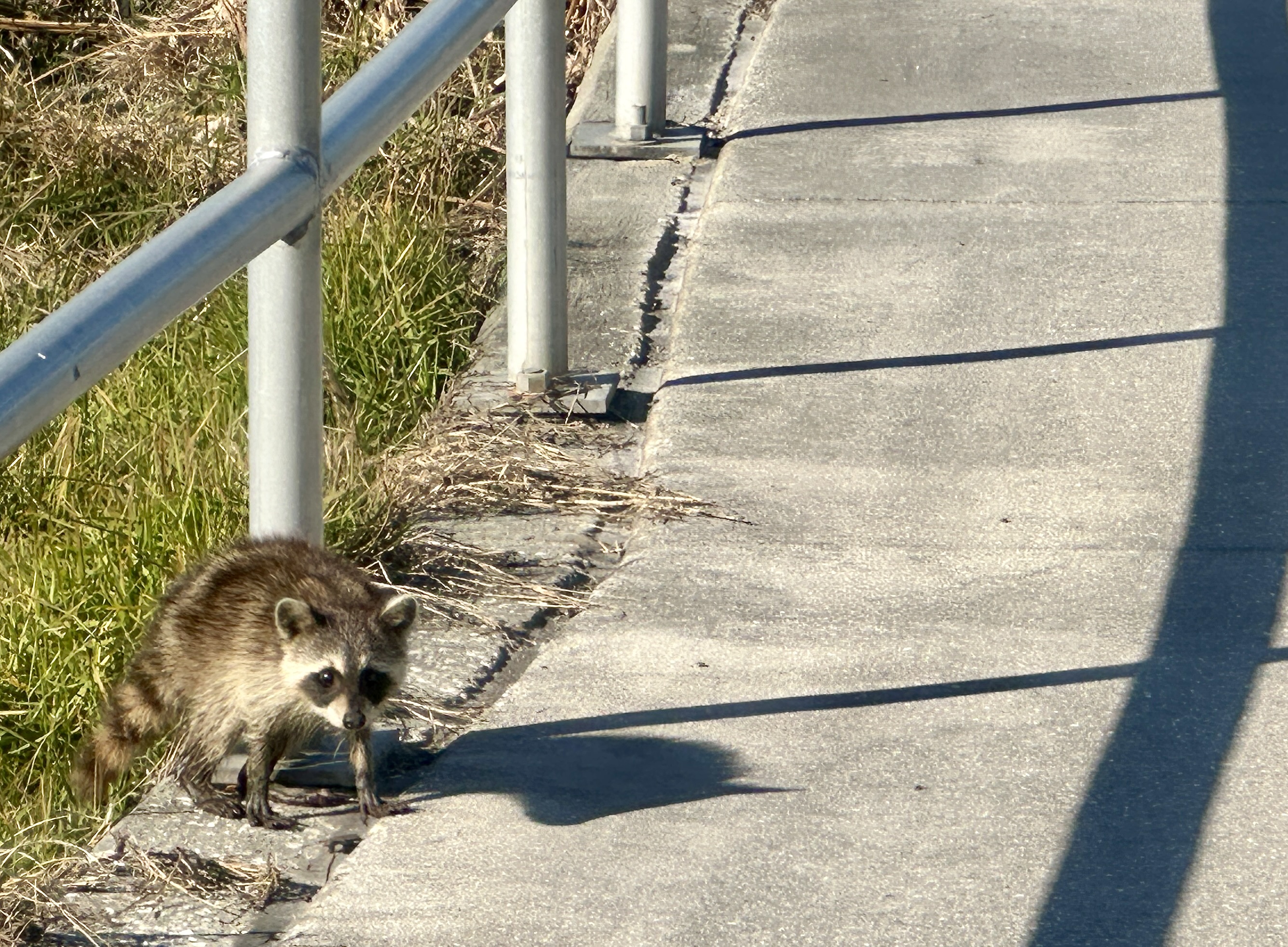
Procyon lotor
The bike path’s much less treacherous than the road to St James City.

Charadrius wilsonia
Ride your bike south along Stringfellow Road from Pine Island to St James City, and you’ll meet plovers resting atop this bebarnacled perch.

Blind Pass Beach
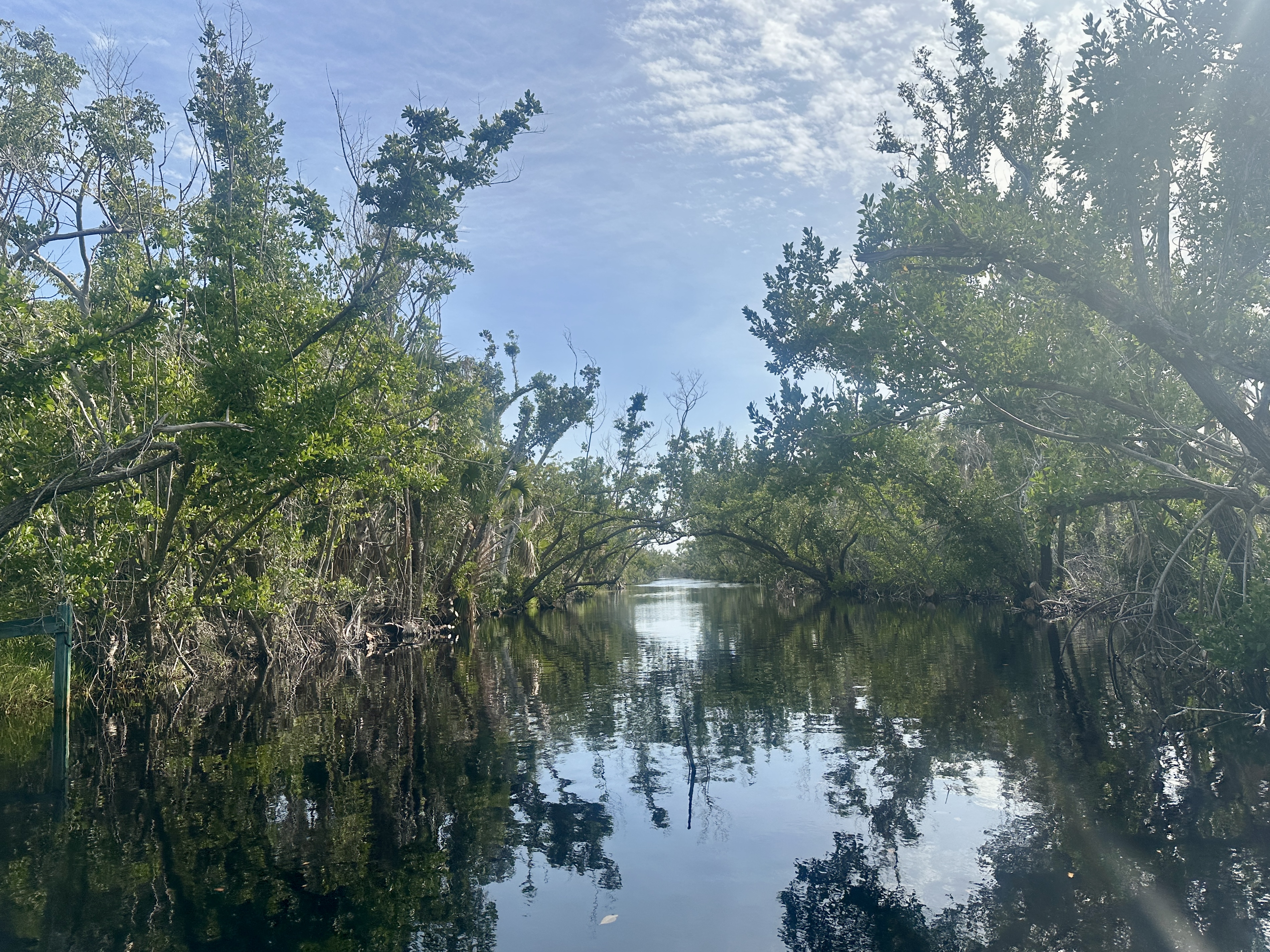
Sanibel Captiva Road Canal
Ian’s thirteen-foot storm surge clobbered Sanibel Island’s ecosystems. Even the most salt-tolerant residents couldn’t handle the overwhelming salinity, and many stretches of forest along Sanibel Captiva Road remain grey leafless graveyards. Not this verdant spot.

Grus canadensis
This year’s final winter break adventure is a trip to Clewiston, Florida, and a bike ride along the Lake Okeechobee Scenic Trail (LOST). In 1993, the 115-mile path became part of the Florida National Scenic Trail. It’s an incredible destination for birders.
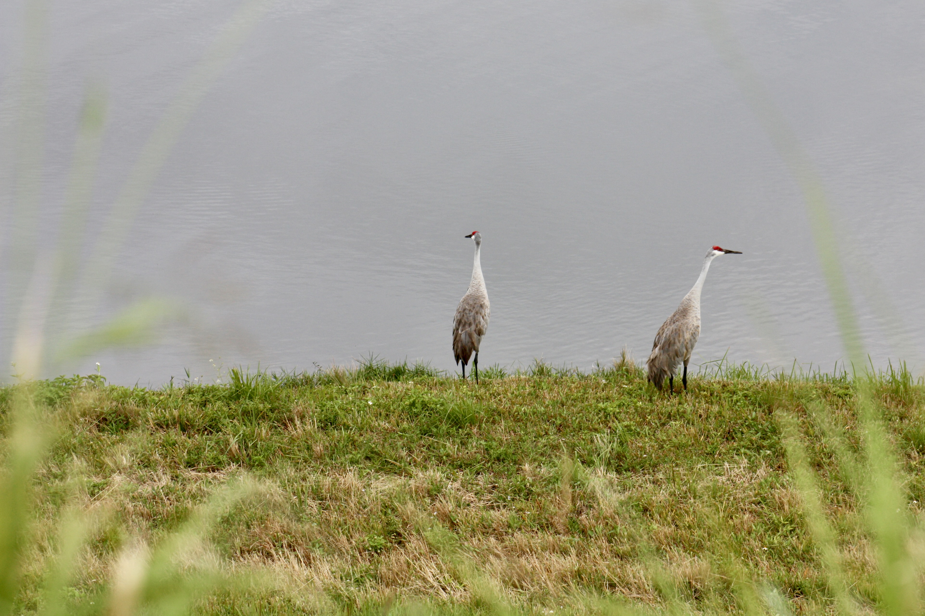
Grus canadensis
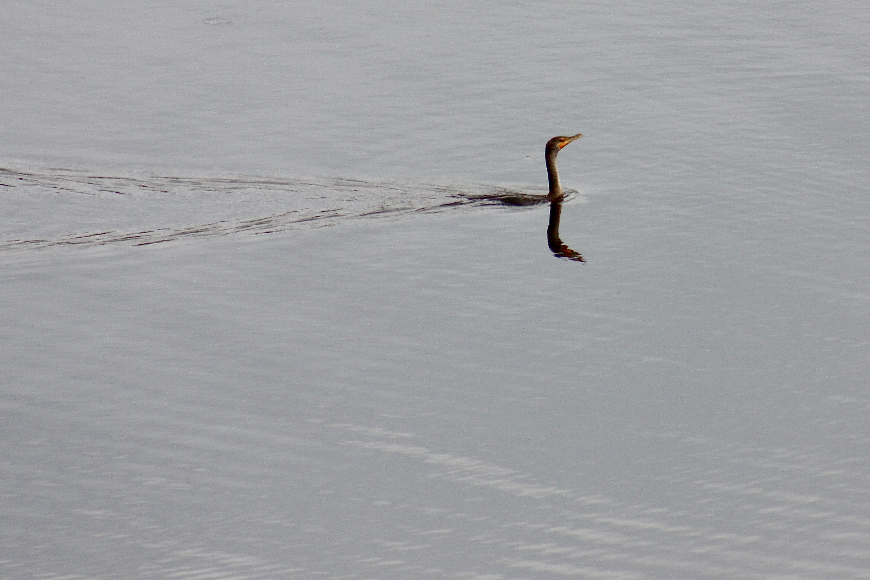
Nannopterum auritum

Lake Okeechobee Scenic Trail (LOST)
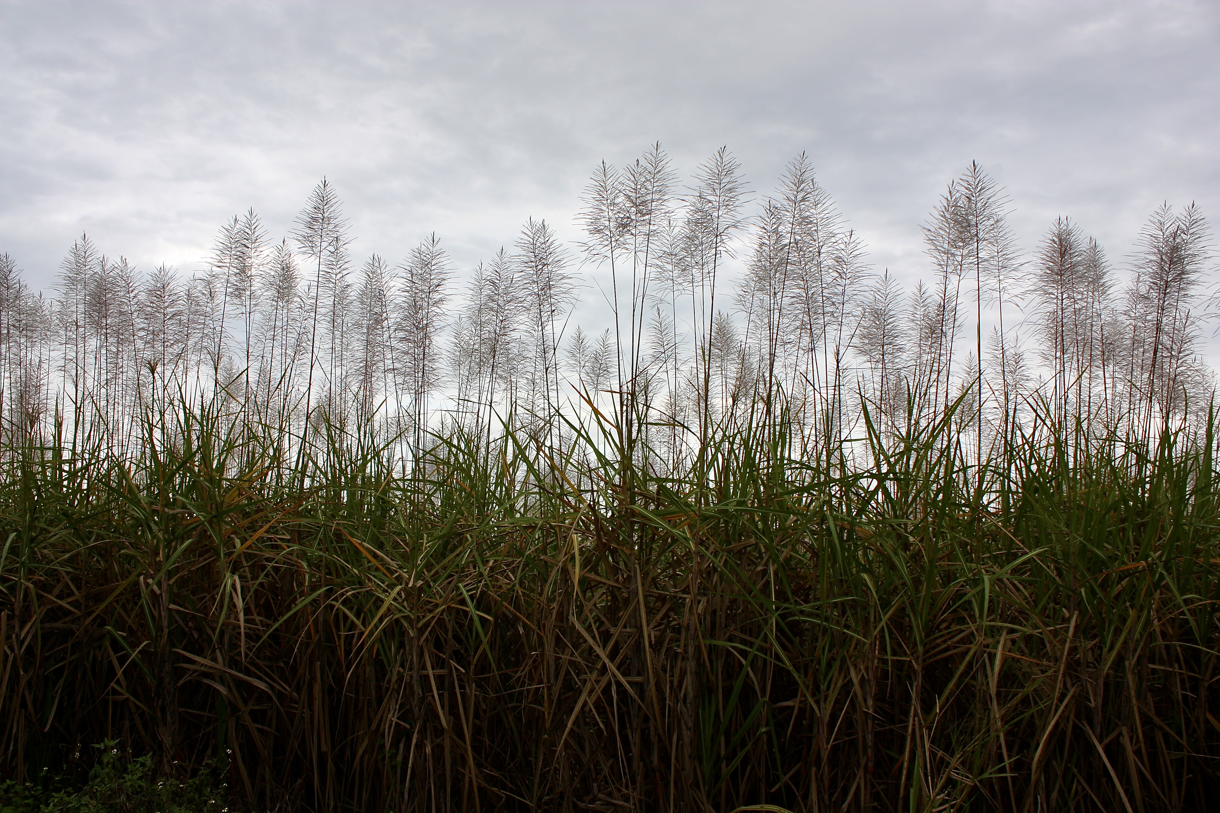
Saccharum officinarum

Coccoloba uvifera
Anthocyanins are pigments that make plants look red or purple. Southwest Florida isn’t known for fall color, but watch what happens in winter.

Coccoloba uvifera

Momordica charantia
An inverted alien flower bursts open next to the bike path on Sanibel Captiva Road. The colorful category II invasive vine shows up more and more frequently throughout Southwest Florida.

Momordica charantia
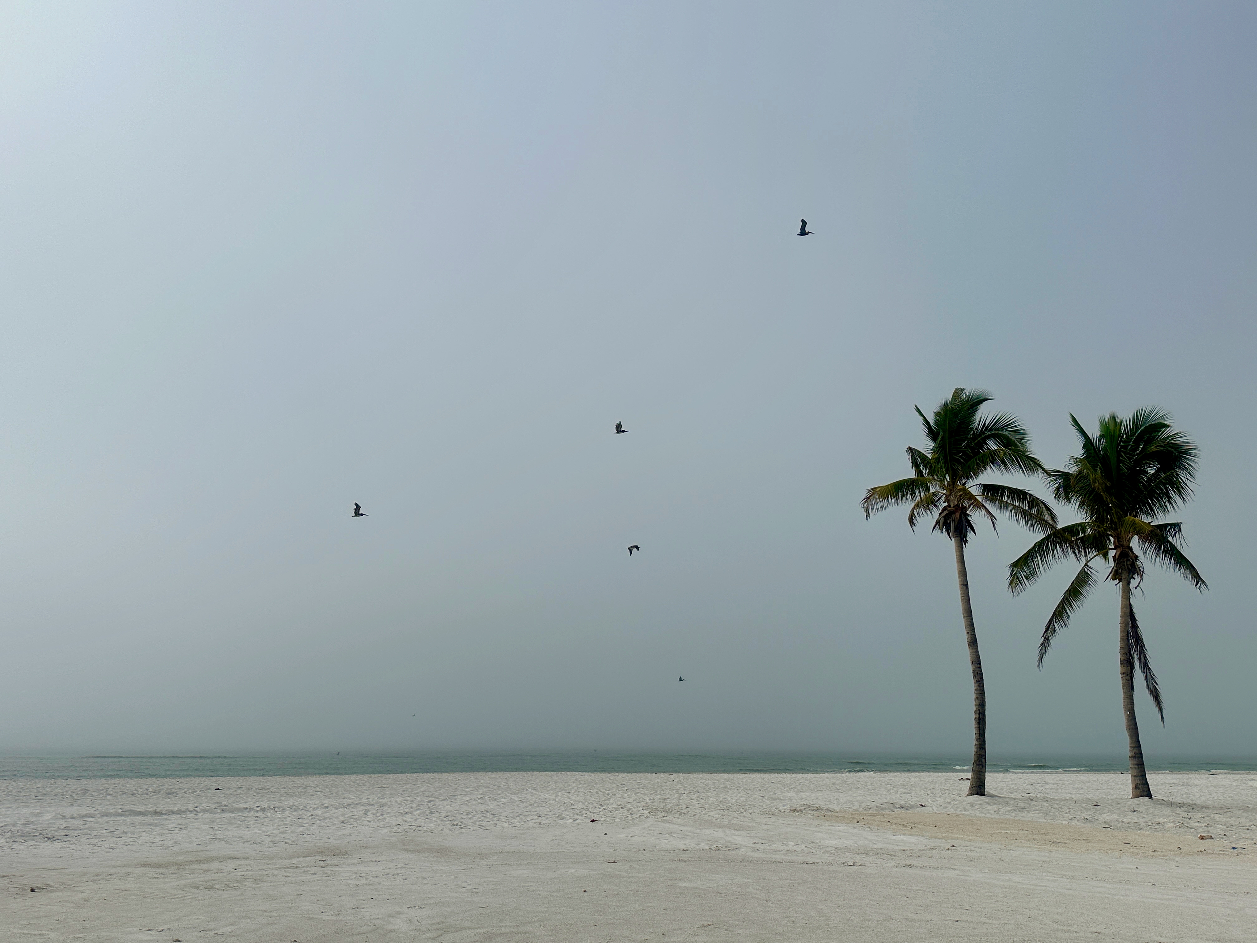
Cocos nucifera and Pelecanus occidentalis

Solidago sempervirens
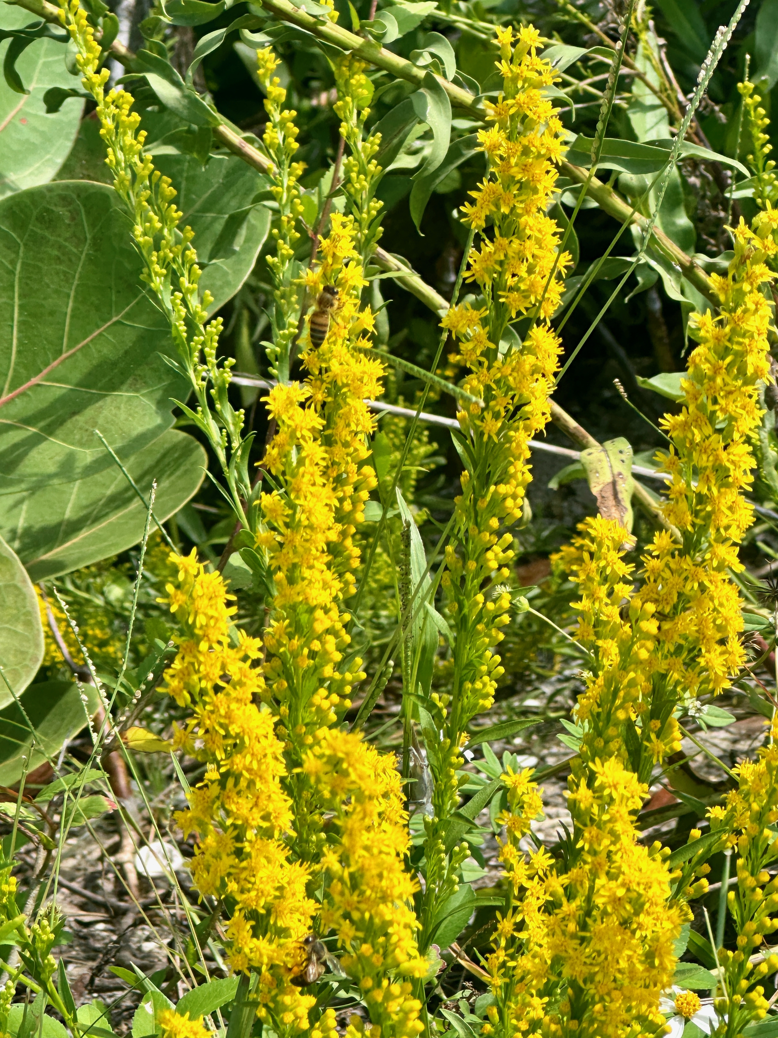
Solidago sempervirens
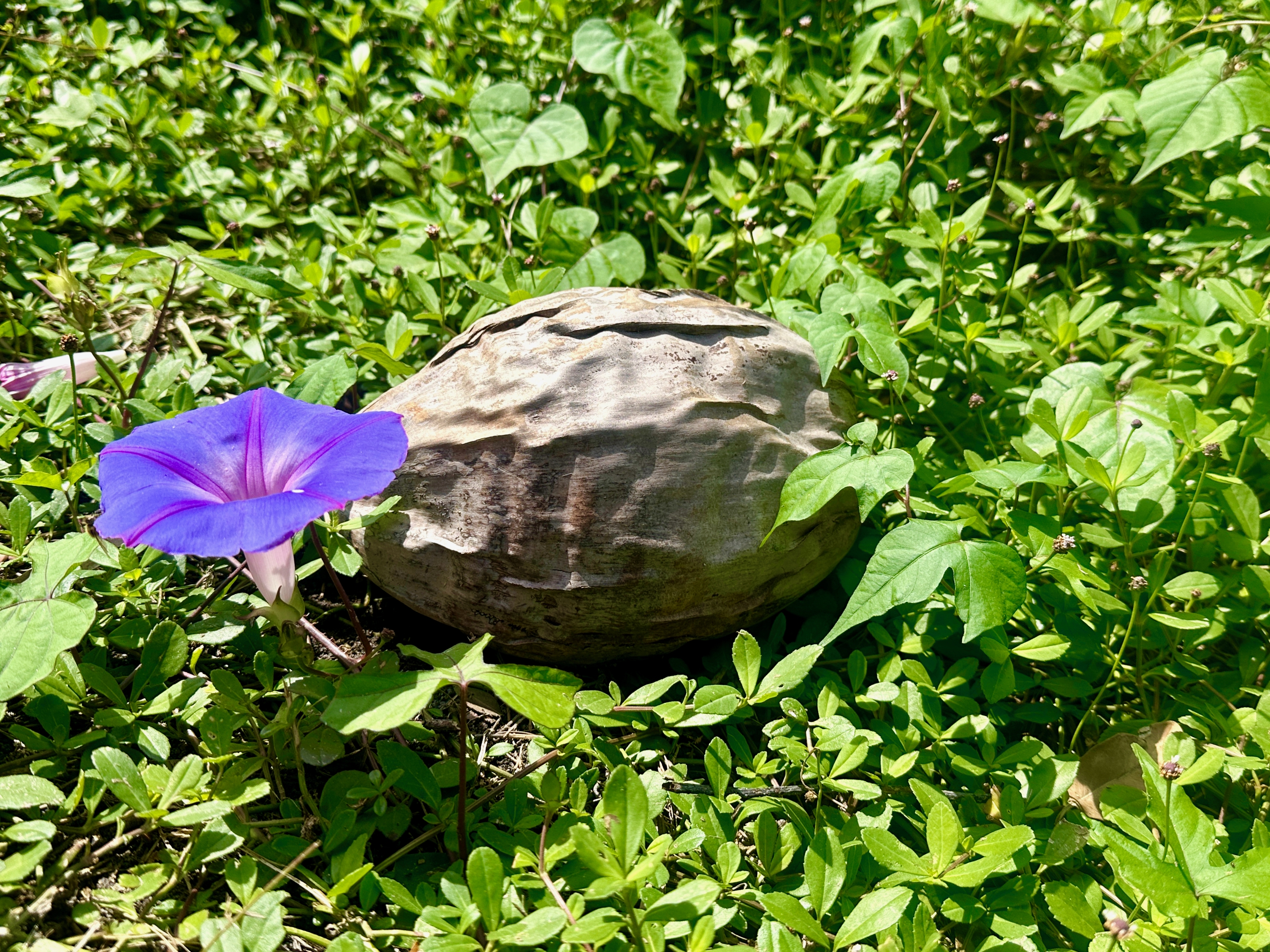
Ipomoea purpurea and Cocos nucifera

Shark Valley Loop
Not a single alligator reared its head during a bike ride through the Pahayokee last July. Much cooler now, they’re all over.

Ardea herodias

Alligator mississippiensis
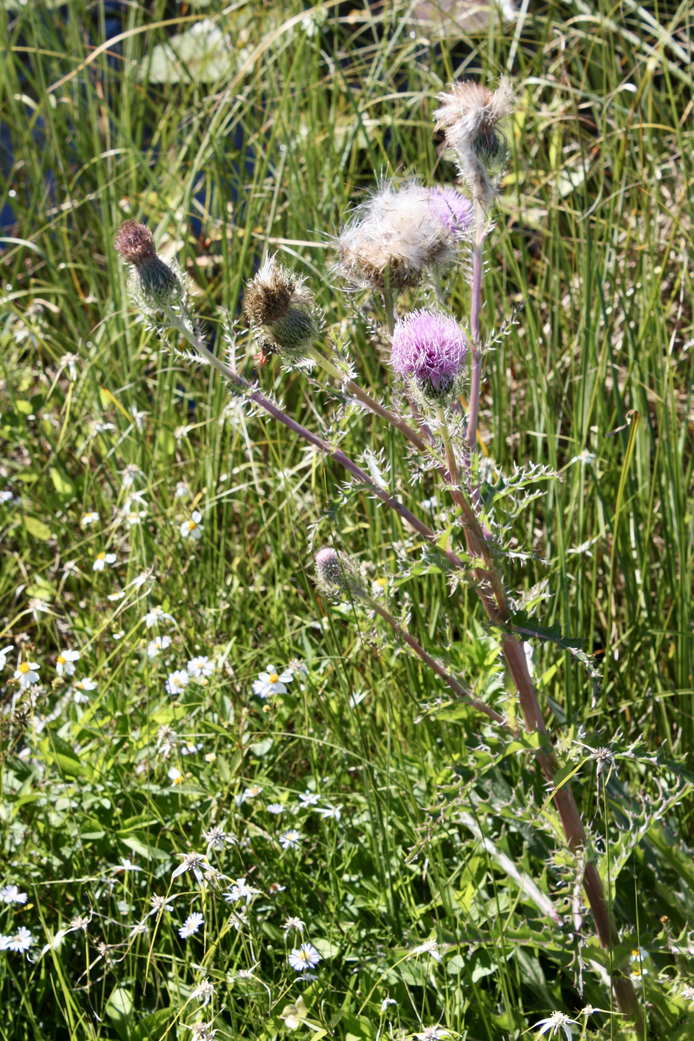
Cirsium horridulum
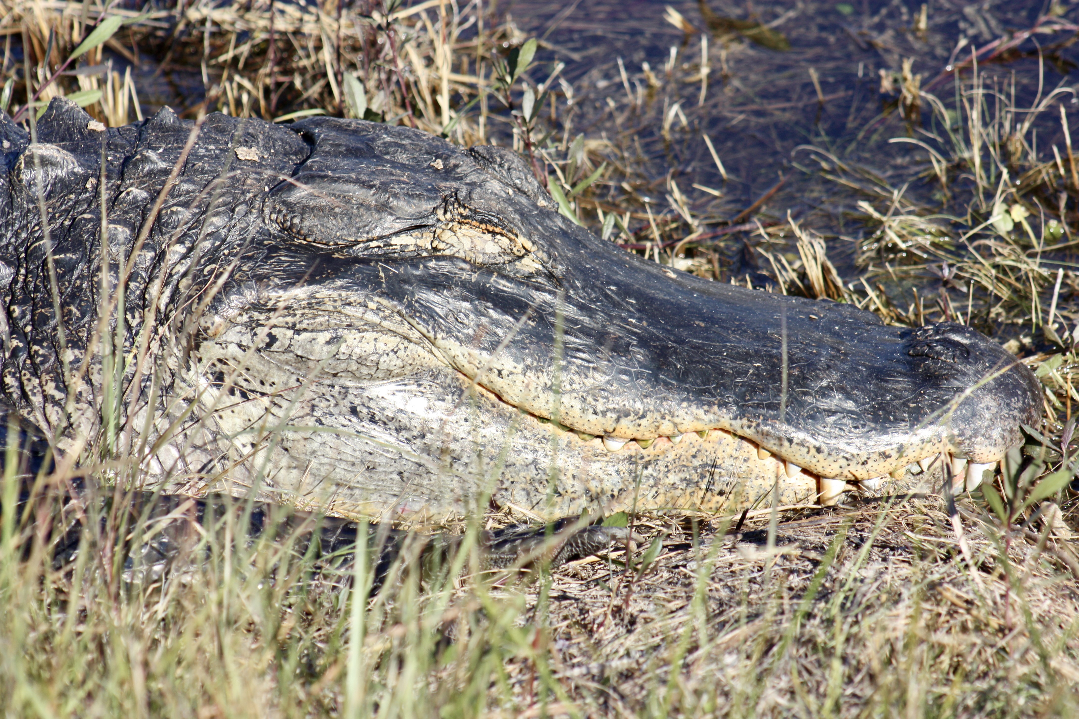
Alligator mississippiens
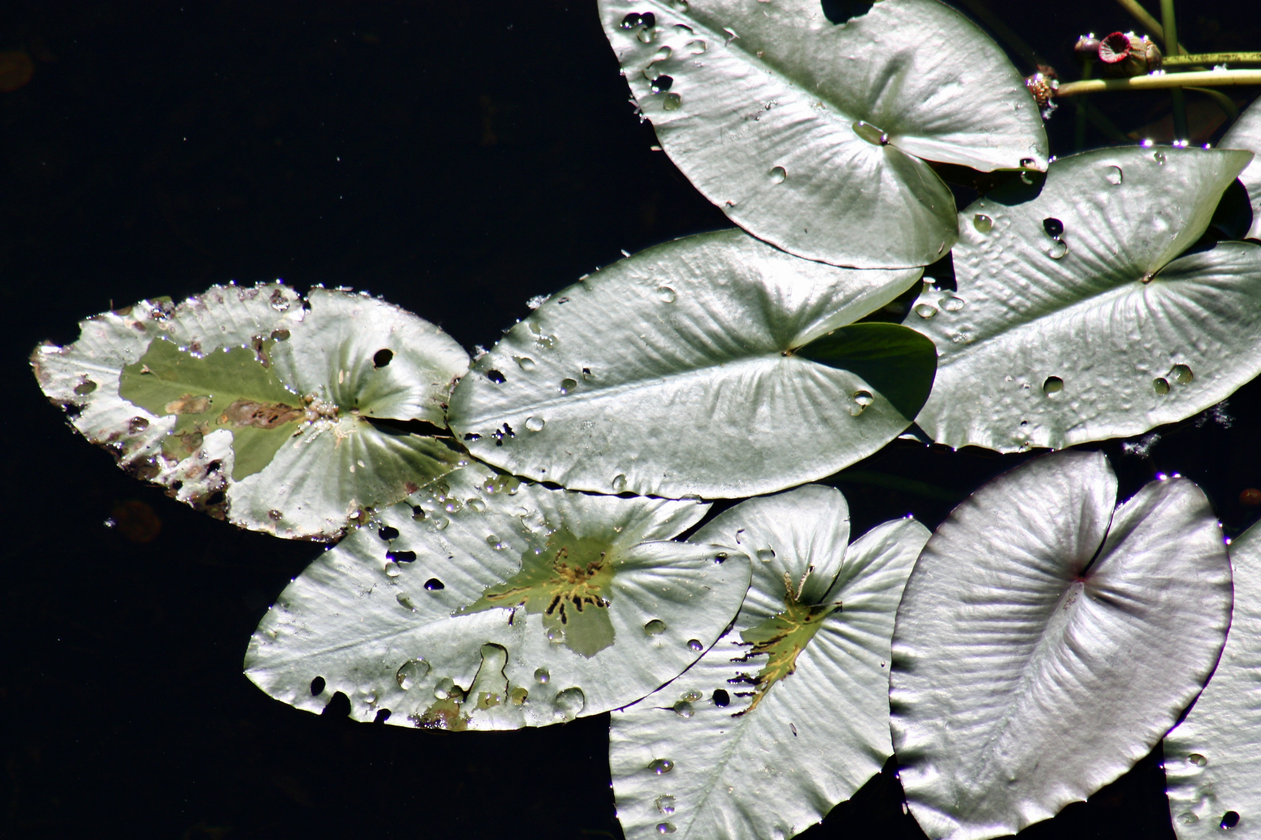
Nuphar lutea

Cocos nucifera
It takes about a month for the verdant shoot to emerge, so this one likely washed ashore while Hurricane Ian spread millions of tons of natural and man-made debris from Manatee to Collier County (and beyond).
Bokeelia is a tiny island community on Pine Island settled by the Calusa Indians, a doomed advanced coastal society that relied heavily on fishing and shellfish.
Henry Ford came along in the 1920s and purchased land on Bokeelia for a fishing village. He also built a large dock and a hotel on the island, and he established a botanical garden. The village never took off, and a hurricane destroyed the the hotel in the 1940s.
In the 1960s and 70s, the island began attracting retirees and vacationers. Many homes were built as it became a popular destination for boating and fishing. Today, Bokeelia is a small community of permanent residents and many more seasonal visitors. Pine Island’s scenic routes and trails, including flat terrain, winding paths through nature preserves, palm nurseries, mango farms, and picturesque coastal roads make it a rad place to ride your bike year-round.
Bokeelia is also home to several parks and preserves, including the Randell Research Center, an archaeological non-profit researching the Calusa Tribe.
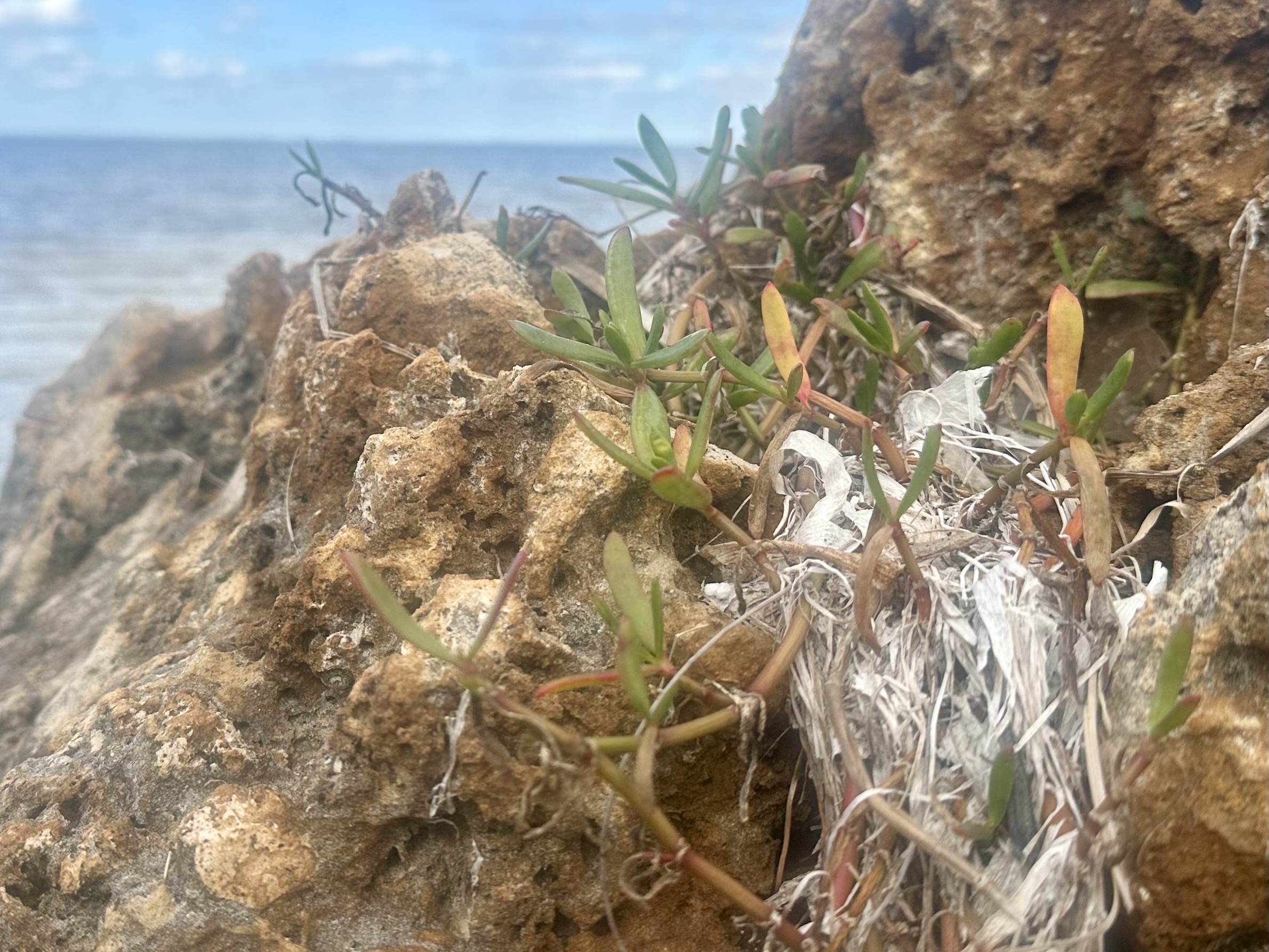
Sesuvium portulacastrum
Sea purslane is a salty, crunchy trailside nibble. One hundred grams of raw sea purslane has 32 milligrams of vitamin C, 267 milligrams of potassium, and 69 milligrams of calcium. It’s also a good source of antioxidants, including beta-carotene, lutein, and zeaxanthin.
Click here for a sea purslane chimichurri recipe.
Caloosahatchee River
